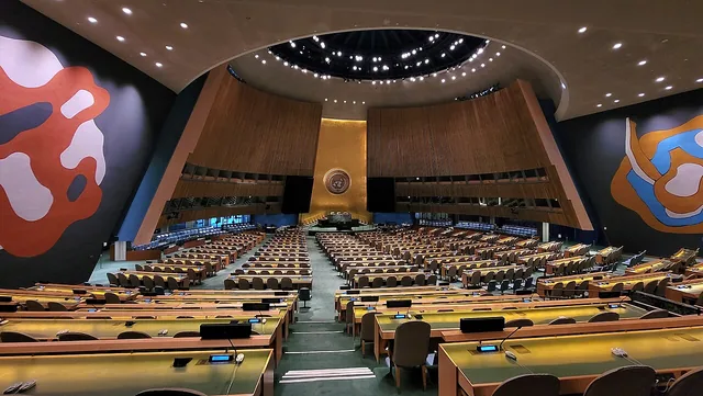
The UN General Assembly voted on Friday to promote map projections that show continents at their true relative size. The resolution, "Correct the Map", was led by Togo on behalf of the African group and backed by African Union members. It passed 164 to one, with six abstentions. Britain and France voted for it. The United States was the single vote against, dismissing the initiative, UN News reports, as part of a "radical ideological project" — a reason BBC's account does not carry.
What the resolution does is narrower than replacing a map. It does not ban the Mercator projection and does not impose a substitute. It encourages governments, schools, international organisations and technology companies to use the Equal Earth projection, developed in 2018, and other equal-area maps when relative size matters — and to teach that any flat map has limits in representing a sphere. The vote is not binding.
The complaint underneath is a number. Mercator's map, drawn in 1569 by the Flemish cartographer Gerardus Mercator to help European sailors navigate, shows Africa at roughly the size of Greenland. Africa is fourteen times larger. Critics say that shrinking has followed the continent into how its development needs and potential are judged. "Maps shape our understanding of the world," Togo's foreign minister, Robert Dussey, said before the vote. "They guide education, nourish the imagination, and influence collective perceptions."
BBC is careful about one thing: the distortion is not a mistake. It follows from the fact that a globe's surface cannot be represented accurately on a flat chart at all.
The six who abstained were Estonia, Georgia, Lithuania, Moldova, Serbia and Ukraine.
Why it is on the board
Top of BBC's most-read list when we collected.
확인: BBC · UN News · Al Jazeera